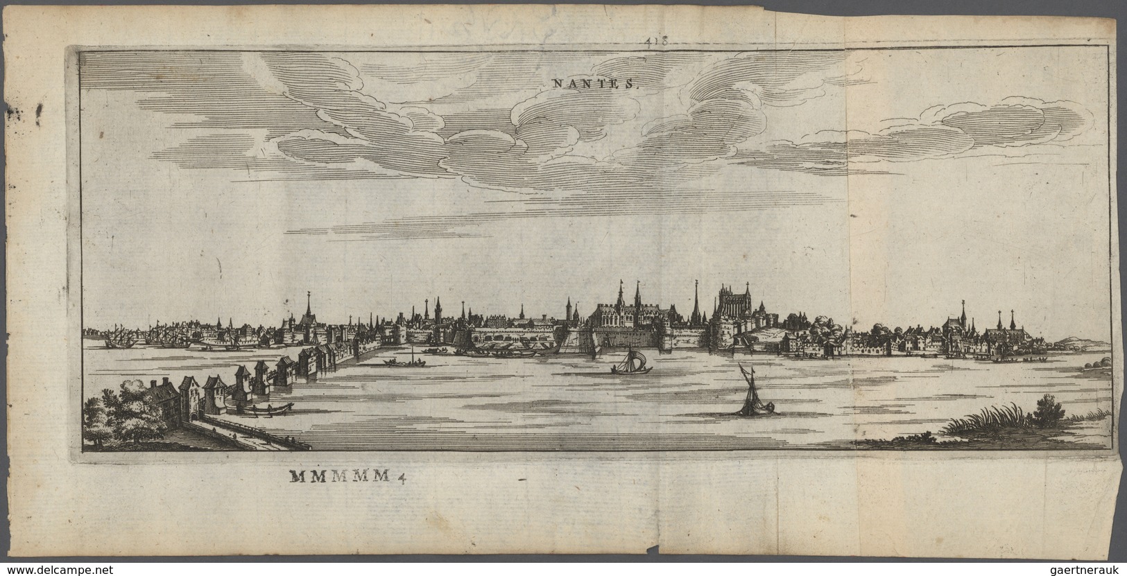
Landkarten und Stiche: 1679. Nantes city bird's-eye map from the 1679 Dutch produced atlas of France

Landkarten Und Stiche: 1679. Nantes City Bird's-eye Map From The 1679 Dutch Produced Atlas Of France - Géographie
Pointez sur l'image pour zoomer Cliquez pour agrandir l'image Cliquez pour démarrer la vidéo

Rejoignez la communauté des collectionneurs !

S'inscrire Se connecter