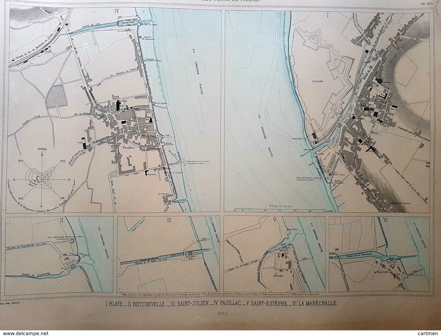
33 BLAYE PAUILLAC SAINT ESTEPHE PLAN DU PORT ET DE LA VILLE EN 1883 DE L'ATLAS DES PORTS DE FRANCE 49 x 67 cm

33 BLAYE PAUILLAC  SAINT ESTEPHE   PLAN DU PORT ET DE LA VILLE  EN 1883 DE L'ATLAS DES PORTS DE FRANCE 49 X 67 Cm - Cartes Marines
Pointez sur l'image pour zoomer Cliquez pour agrandir l'image Cliquez pour démarrer la vidéo

Rejoignez la communauté des collectionneurs !

S'inscrire Se connecter